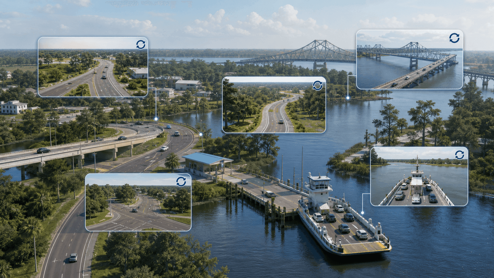
A responsive public website brings frequently refreshed camera views into one place, helping travelers check local conditions before reaching roads, bridges, and ferries.
Government, Transportation
Web
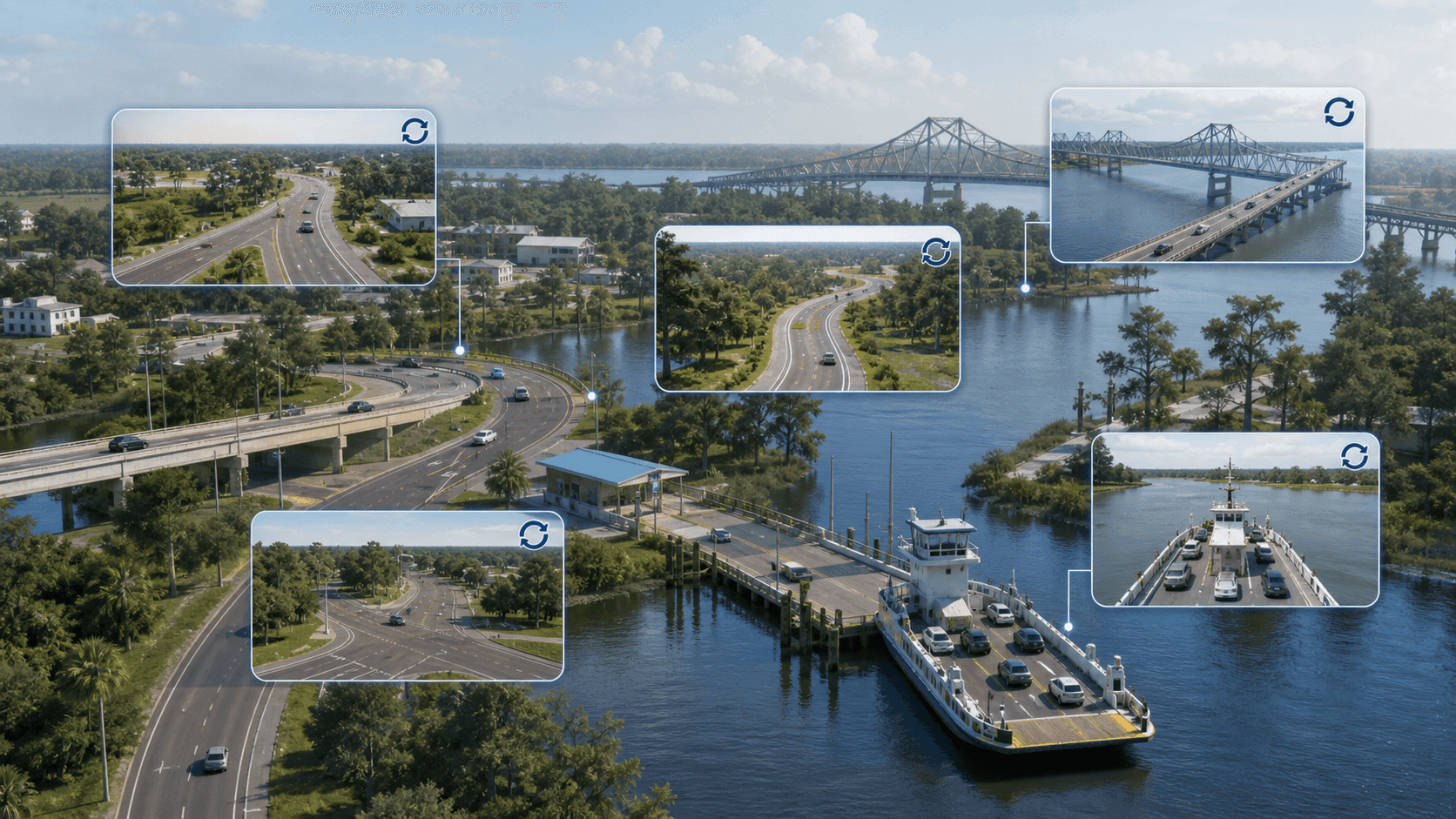
People traveling through Iberville Parish needed a clearer way to check conditions before encountering delays at local roads, bridges, and ferries. Camera views and travel details are most useful when they are easy to find and review before a route decision.
The parish wanted one public destination that could turn location-specific traffic information into a practical planning resource. The experience needed to keep current views prominent and work well on phones and larger screens for residents, commuters, and visitors.